Subjects
 Political Science
 download catalogue
Representations
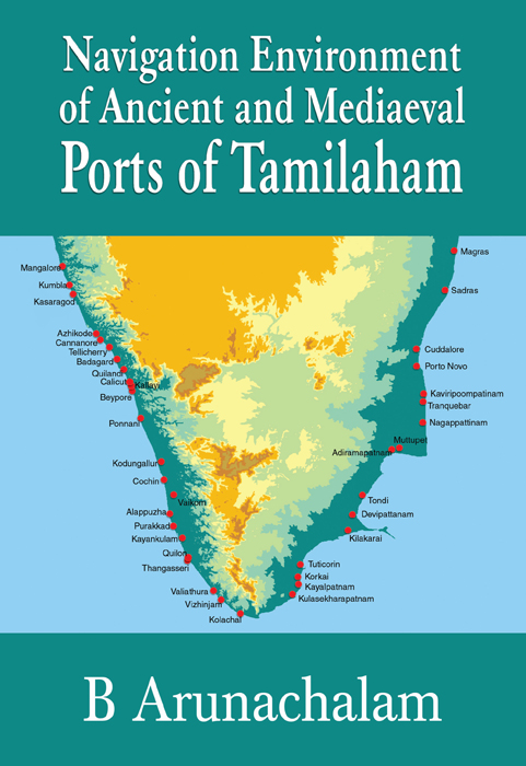
Navigation Environment of Ancient and Mediaeval Ports of Tamilaham
Arunachalam
In recent decades, marine archaeologists working in near-shore underwater areas have brought to light new find of enormous value. Scholars, working in their respective discipline areas concerning specific ports, have not been able to build a holistic perspective on the ports of the past, and their rise and decline. This is, to an extent, due to a lack of sea-perspective of the ports and their navigational environment. To fill this gap, through an interdisciplinary and integrative approach, the present work on navigational environment of the old and mediaeval ports of Tamilaham has been attempted. The book incorporates all available knowledge gathered till date.
The book covers
- Maps on both Regional and Local scale levels
- Large Scale Topographical Maps
- Satellite Imagery
- Maps from archives to give an overview of the Ports in the area.
Included are relevant references at the end of each chapter. The work will be of immense use to Researchers, Civil Engineers, Defence Personnel.